Sage Hartmann · 12 November 2026
Orbital Constellations Track Cyclical Shifts in Reduced Surface Activity Across Conserved Inland Waters
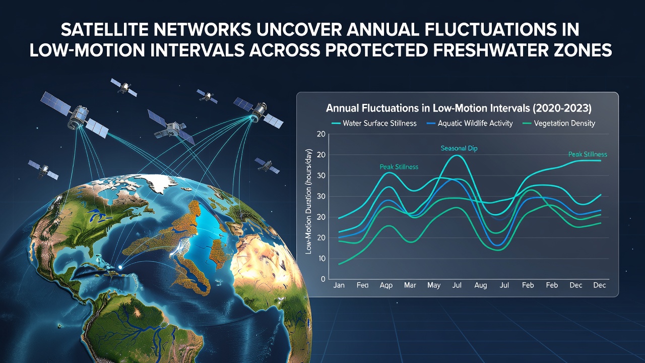
Researchers have deployed networks of orbiting satellites to monitor low-motion intervals in protected freshwater zones, and data collected through late 2026 continues to show clear annual cycles. These intervals represent periods when water surfaces exhibit minimal wave action or turbulence, often linked to wind patterns, temperature gradients, and seasonal ecological processes. Constellations operated by agencies including the European Space Agency and NASA supply repeated radar and optical passes that capture surface roughness at scales previously difficult to measure consistently across large protected areas.
Data Collection Methods Expand Coverage
Synthetic aperture radar instruments on satellites penetrate cloud cover and operate day or night, which allows continuous tracking of surface conditions even during extended periods of poor visibility. Optical sensors complement the radar data by providing additional detail on surface reflectance that correlates with motion levels. Analysts combine these streams to produce maps that highlight zones experiencing longer or shorter low-motion windows each year. In November 2026 updated processing pipelines integrated higher-resolution passes from newer satellite launches, sharpening the ability to distinguish brief calm spells from multi-day events.
Protected areas in temperate and boreal regions show the strongest seasonal signals, whereas tropical reserves display more subtle month-to-month variations tied to rainfall cycles rather than temperature swings. Teams at research institutions cross-reference satellite outputs with ground-based weather stations and buoy measurements to validate the orbital readings. Discrepancies between the two data types have narrowed as algorithms improve, yet observers note that wind-shadow effects from surrounding terrain still require site-specific corrections.
Annual Patterns Emerge from Multi-Year Records
Multi-year archives now span enough seasons for statisticians to identify recurring peaks and troughs in low-motion duration. Spring and autumn frequently produce the longest intervals in northern hemisphere reserves, while summer brings increased surface activity from convective storms. Southern hemisphere sites show the opposite phasing, confirming the role of solar angle and prevailing wind regimes. Figures released by the NASA Earth Observatory illustrate how these cycles have shifted by several days per decade in some catchments, a trend that aligns with broader atmospheric circulation changes documented by meteorological services.
One analysis covering 2018 through 2026 found that certain alpine lakes experienced low-motion intervals extending three to five days longer during shoulder seasons compared with the earlier part of the record. In contrast, lowland reservoirs showed compression of those same intervals, possibly reflecting altered wind fetch after upstream land-use modifications. Researchers continue to test whether these divergences stem from local topography, vegetation changes, or larger-scale climate influences.
Conservation Applications Draw on Satellite Insights
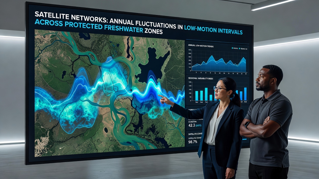
Protected-area managers now incorporate satellite-derived stillness metrics into habitat suitability models for species sensitive to water-surface conditions. Waterfowl nesting success and certain aquatic plant distributions correlate with extended low-motion windows that reduce wave-induced sediment resuspension. By overlaying annual fluctuation maps onto existing conservation plans, agencies adjust seasonal access restrictions or restoration planting schedules without waiting for labor-intensive field surveys.
The US Environmental Protection Agency has referenced similar orbital datasets when evaluating restoration targets for Great Lakes coastal wetlands, where reduced surface motion influences nutrient cycling and larval fish survival. European conservation bodies have begun testing parallel approaches for Natura 2000 sites that contain extensive lake and river networks. These efforts demonstrate how remote-sensing products move from research tools to operational inputs for day-to-day management decisions.
Future Satellite Missions Promise Finer Detail
Upcoming missions scheduled for launch after 2026 will add hyperspectral and higher-frequency radar capabilities that further refine detection of short-duration low-motion events. Improved revisit times should reduce gaps in the time series, particularly during rapidly changing weather systems. Data-processing centers are already preparing machine-learning pipelines to handle the expected increase in volume while maintaining consistency with historical records.
International coordination through bodies such as the Committee on Earth Observation Satellites continues to standardize metadata formats and validation protocols, which helps researchers merge datasets across different orbital platforms. As archives lengthen and spatial resolution improves, the ability to attribute specific fluctuations to individual drivers such as temperature anomalies or land-cover change should strengthen.
Conclusion
Satellite networks have established a reliable observational baseline for tracking annual fluctuations in low-motion intervals across protected freshwater zones. Continued data collection through November 2026 and beyond supports increasingly precise comparisons between regions and years. These measurements feed directly into conservation planning and ecological modeling efforts worldwide, providing an objective record that complements traditional field observations.