Sage Hartmann · 17 September 2026
Community Initiatives Bolster Defenses for Isolated Highland Water Sources Amidst Current Challenges
Remote highland water systems face increasing pressures from tourism expansion, agricultural runoff, and shifting climate patterns, yet local groups continue to implement targeted protection measures that deliver measurable results. These efforts focus on areas where traditional monitoring falls short, and they combine habitat restoration with community monitoring programs. Data from multiple regions shows that such approaches reduce sediment loads and stabilize water quality over multi-year periods.
Understanding Pressures on Upland Catchments
Highland waters often originate in steep terrain where small changes in vegetation cover or visitor traffic produce outsized effects downstream. Studies conducted across European mountain ranges indicate that recreational foot traffic alone can increase erosion rates by up to 40 percent in sensitive zones during peak seasons. Agricultural intensification in lower valleys adds nutrient inputs that travel upward through connected systems, while warming temperatures accelerate glacial melt and alter seasonal flow regimes.
Researchers tracking these variables note that isolated lochs and tarns respond quickly once disturbance thresholds are crossed, which makes early intervention critical. Local teams therefore prioritize sites where data gaps exist rather than relying solely on centralized surveys.
Grassroots Monitoring and Restoration Tactics
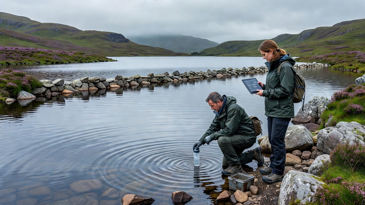
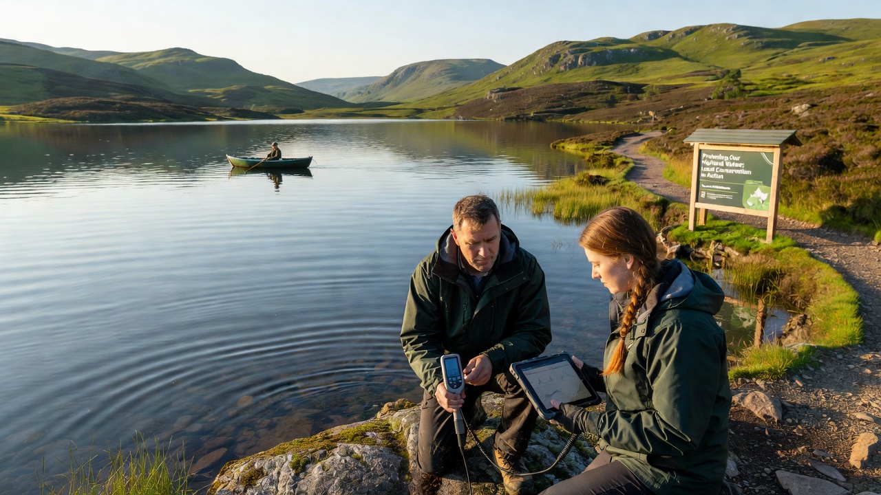
Volunteers equipped with portable sensors now collect weekly readings on pH, turbidity, and dissolved oxygen in several Scottish and Scandinavian highland districts. These networks feed information into shared databases that government agencies access for regulatory decisions. One project launched in 2024 equipped 12 remote sites with solar-powered loggers that transmit real-time alerts when thresholds for key pollutants are exceeded.
Habitat work complements the monitoring. Teams plant native riparian species along stream banks to bind soil and filter runoff, while constructed wetlands at valley heads trap sediments before they reach main water bodies. In September 2026, a multi-site planting initiative across the Cairngorms and Jotunheimen ranges will add 8 hectares of buffer vegetation, according to project schedules released by participating organizations.
Partnerships That Extend Reach
Local conservation groups rarely operate alone. They coordinate with national parks, research institutions, and regional authorities to secure permits and funding. A Canadian initiative in the Rockies, for example, pairs Indigenous knowledge holders with university hydrologists to map groundwater contributions to alpine lakes, and similar models appear in Australian high country programs managed through the Department of Climate Change, Energy, the Environment and Water.
These collaborations produce standardized protocols that smaller teams can adopt without large budgets. Training sessions held in community halls cover equipment calibration and data interpretation, reducing errors that previously undermined volunteer-collected information.
Documented Outcomes and Ongoing Tracking
Evidence from completed projects shows clear improvements. In one upland catchment, macroinvertebrate diversity rose 25 percent within three years after bank stabilization and visitor path rerouting. Another site recorded a 15 percent drop in peak turbidity readings during spring snowmelt following wetland construction. Figures released by the European Environment Agency indicate that catchments with active local stewardship maintain more consistent oxygen levels than comparable unprotected areas.
Longer-term records remain essential because climate variability can mask short-term gains. Observers therefore continue to expand sensor networks and compare results against control sites where no interventions occur.
Future Steps for Sustained Protection
Expansion of these programs depends on consistent funding and knowledge transfer between regions. Groups plan to integrate satellite imagery with ground sensors to identify emerging disturbance hotspots before they affect water chemistry. Training materials developed in one country are being translated for use elsewhere, which speeds adoption in new highland zones.
Conclusion
Local conservation efforts demonstrate that coordinated, site-specific actions can shield remote highland waters from multiple modern pressures. Continued data collection and cross-regional sharing of methods will determine how widely these gains extend in coming years.